Home → Programs → Ships & Boats → SA Waters
 Class SA Waters
Introduction
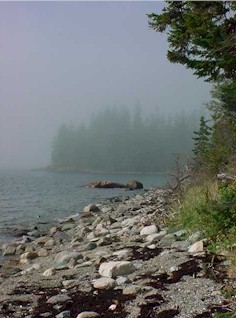
Class SA is the highest classification of estuarine and marine waters. This classification is applied to waters that are outstanding natural resources and that should be preserved because of their ecological, social, scenic, economic or recreational importance. By law --
- Class SA waters shall be of such quality that they are suitable for the designated uses of recreation in and on the water, fishing, aquaculture, propogation and harvesting of shellfish and navigation and as habitat for fish and other estuarine and marine life. The habitat shall be characterized as free-flowing and natural.
- The estuarine and marine life, dissolved oxygen and bacteria content of Class SA waters shall be as naturally occurs.
- There may be no direct discharge of pollutants to Class SA waters, except storm water discharges that are in compliance with state and local requirements.
See 38 MRSA 465-B (off-site).
Class SA, SB and SC are described in statute by the Maine Legislature. See 38 MRSA 469 (off-site).
Maps
Note: the following maps were updated 11/9/2005 to include a proposed no discharge area for Casco Bay.
Coast of Maine overview showing SA waters. (pdf version of overview map alone)
Sub areas (as shown on overview map):
These sub area maps are large pdf files and may take a few minutes to load. Use the functions of Adobe Acrobat reader to enlarge a portion of a map for easier viewing, or enlarge and print a portion of a map. DIRECTIONS:
![]() Click on the "Zoom In" tool, and draw a rectangle around the area you would like to enlarge for easier viewing.
Click on the "Zoom In" tool, and draw a rectangle around the area you would like to enlarge for easier viewing.
![]() Click on the "Graphic Select" tool, and draw a rectangle around an area that you would like to print.
Click on the "Graphic Select" tool, and draw a rectangle around an area that you would like to print.
![]() Click on the "Hand Tool" and use it to grab and move the map around on the screen.
Click on the "Hand Tool" and use it to grab and move the map around on the screen.