DACF Home → Bureaus & Programs → Maine Natural Areas Program → Ecological Reserves → Cutler Preserve
(Printer Friendly Version-439 KB pdf) (Download a free copy of Adobe Acrobat Reader)
Cutler Preserve
Cutler, Whiting
Vital Statistics
- Size: 5,216 acres
- Regulated: 1,623 acres
- Non-Regulated: 3,593 acres
- Upland: 4,136 acres
- Forested Wetland (NWI): 257 acres
- Non-Forested Wetland: 815 acres
- Open Water: 18 acres
- Roads: improved-3 miles
- Roads: unimproved-1 mile
- Roads: trails-1 mile
- Roads: Total-5 miles
- Biophysical Region: Eastern Coastal
- BPL Region: East
(Download a Printer Friendly Version-467 KB pdf-of this map.)
Exemplary Natural Communities
Rare Plants
| Scientific Name | Common Name | State Rank | Global Rank | State Status |
|---|---|---|---|---|
| Geocaulon lividum | Northern Comandra | S3 | G5 | SC |
Rare Animals
There are no documented occurrences of rare animals within this Ecoreserve. For more information on rare animals in Maine, visit the Maine Department of Inland Fisheries and Wildlife.
Description
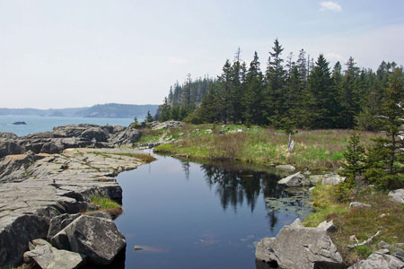
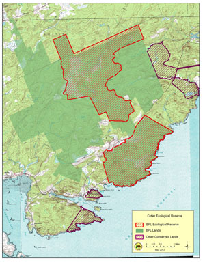
This Reserve consists of two units: a 3,489 acre inland unit and a 1,727 coastal unit. Together these units encompass several natural communities characteristic of DownEast Maine, including coastal plateau bogs, open headlands, and bluejoint meadows.
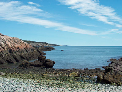
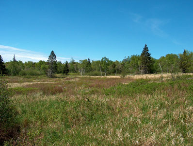
The Reserve encompasses several peatlands and one of the largest known "bluejoint meadow" natural communities in Maine. These open habitats are embedded within forested stands of varying degrees of past disturbance, ranging from early successional aspen groves to a spruce stand over 100 years old.
At over 1,000 acres, the bluejoint meadow along East Stream is a mosaic of upland and wetland types with a history of fire. Research by Dieffenbacher-Krall (1996) suggests that these meadows were initially created by fire in the mid 19th century. The meadows have burned repeatedly in the 20th century and have been targeted for prescribed burns in past management plans by the state. The large meadow in the southern unit was most recently burned in April 2004. Krall's study also suggests, however, that fire may not be necessary to keep the meadows open. Blue-joint grass may inhibit tree regeneration by forming dense mats and preventing seed germination.
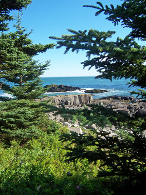
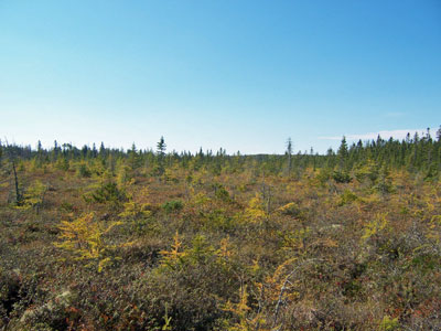
One of the largest bogs in the Reserve is the ~120 acre huckleberry - crowberry bog along Bagley Stream. Black crowberry (Empetrum nigrum) and baked apple-berry (Rubus chamaemorus), both characteristic of this maritime bog type, occur frequently here. Some of the other peatlands in the Reserve lack these characteristic maritime species.
In general, forested stands in this Reserve are comparatively young and low in volume, reflecting combinations of past spruce-budworm, fire, heavy harvesting, and weather damage. Bureau of Public Land stand type maps, for example, indicate no sawtimber stands within the Reserve. A few mature stands remain, such as a 100+ year old spruce stand near Cocoa Mountain, just outside of the Reserve.
A hiking trail traverses the coastal unit, and there are a handful of maintained campsites on the coast.
Resources
- Dieffenbacher-Krall, A. 1996. Paleo- and Historical-Ecology of the Cutler Grasslands, Cutler, Maine (USA): Implications for Future Management. Natural Areas Journal. Volume 16, Issue 1.
- Famous, N.C. and M. Spencer. 1992. An evaluation of the Maine Public Lands Cutler Management Unit using landscape analysis and field verification. Bureau of Public Lands, Augusta, Maine. 35 pp. (+ appendices).
